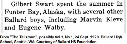
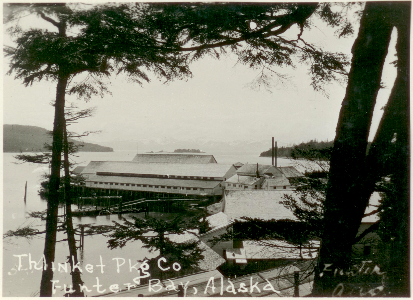
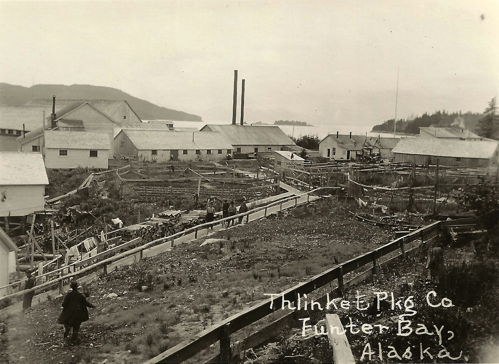
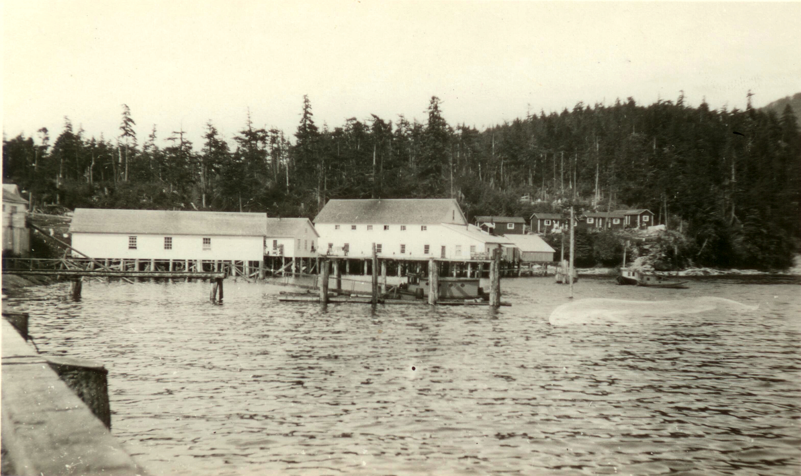
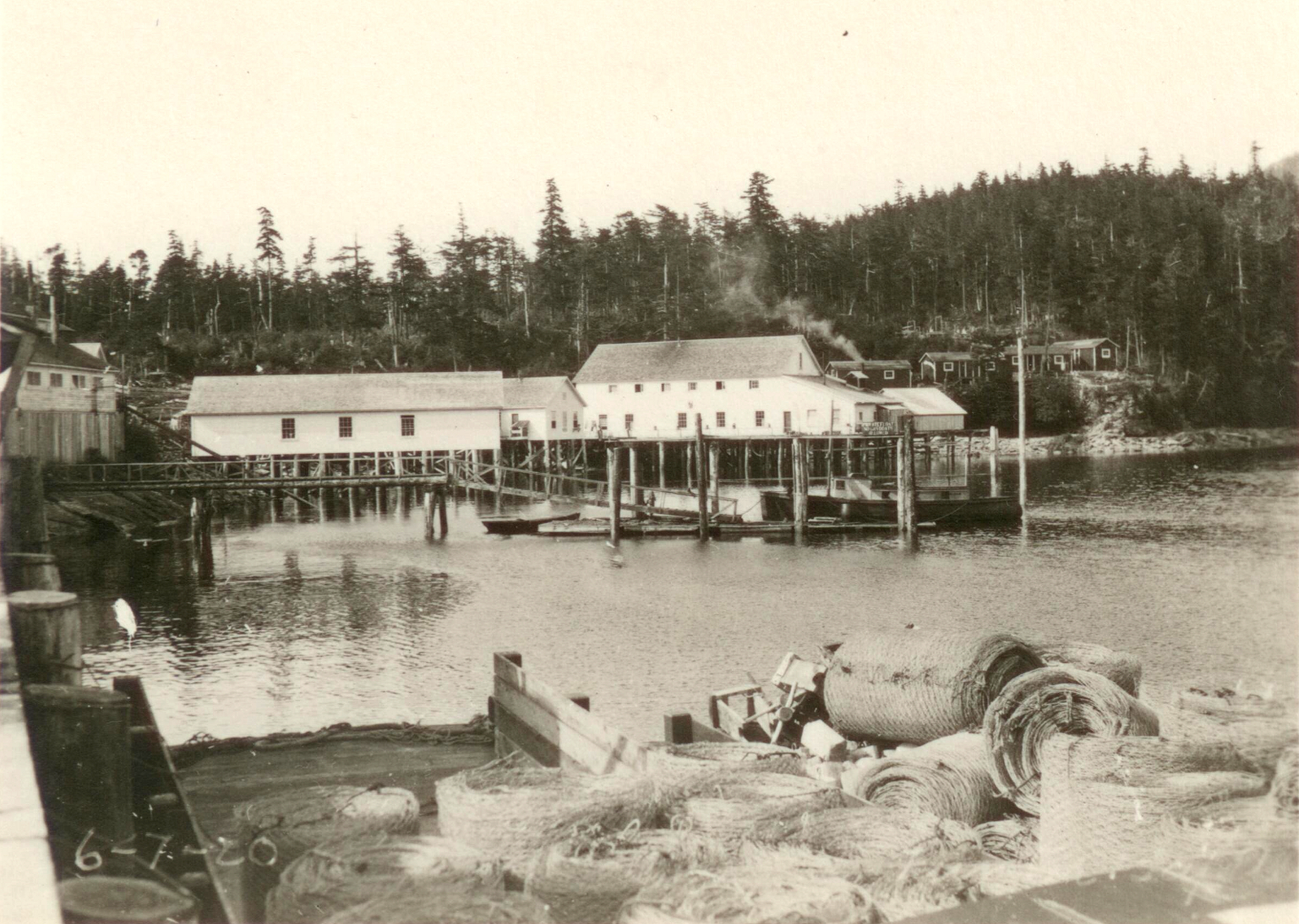
In the summer of 1919, a group of Seattle high school students traveled to Alaska to work at the Funter Bay cannery. One or more of the group took a number of photos during this and possibly subsequent trips. I have been posting photos from this collection over the last several weeks.

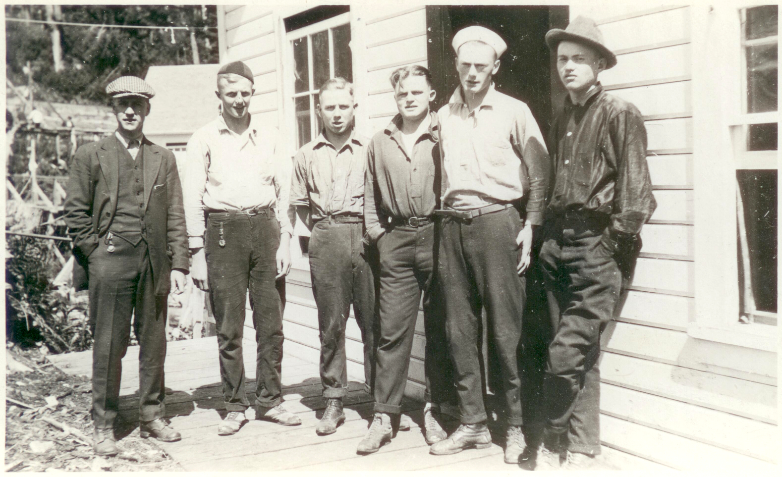
The above photo was likely taken soon after arrival at Funter Bay. The boys are wearing outfits more appropriate for school than for cannery work. One boy on the left has a Ballard HS letter jacket.
A list of the students along with contact information for their parents is labeled “Contracts… Funter Bay”. The back has some of the same names along with numbers, perhaps related to hours or pay.


The names on the list are:
Clarence Hawley
George Anderson
Malcolm Owen
Harold Hendrickson
Roy F. Swenson
Marvin Kleve
Ed Wilkerson
George Fraley
Gilbert Swart
Elmer Green
Cedric Hilton
Eugene Walby
Robert Stevens
Webster Hallett

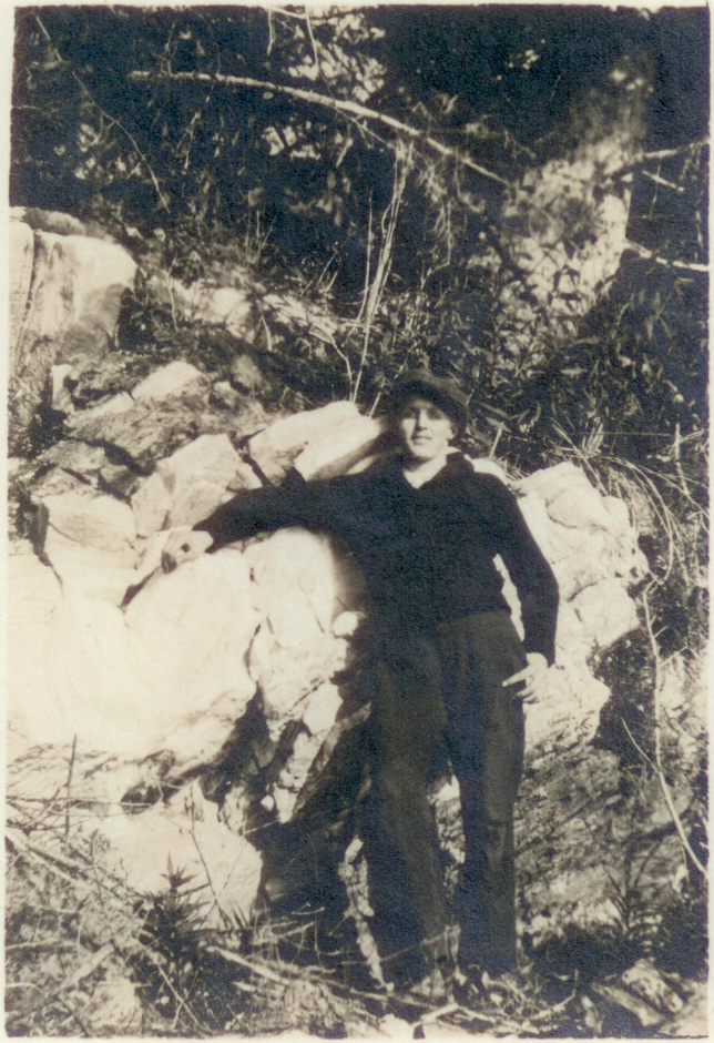
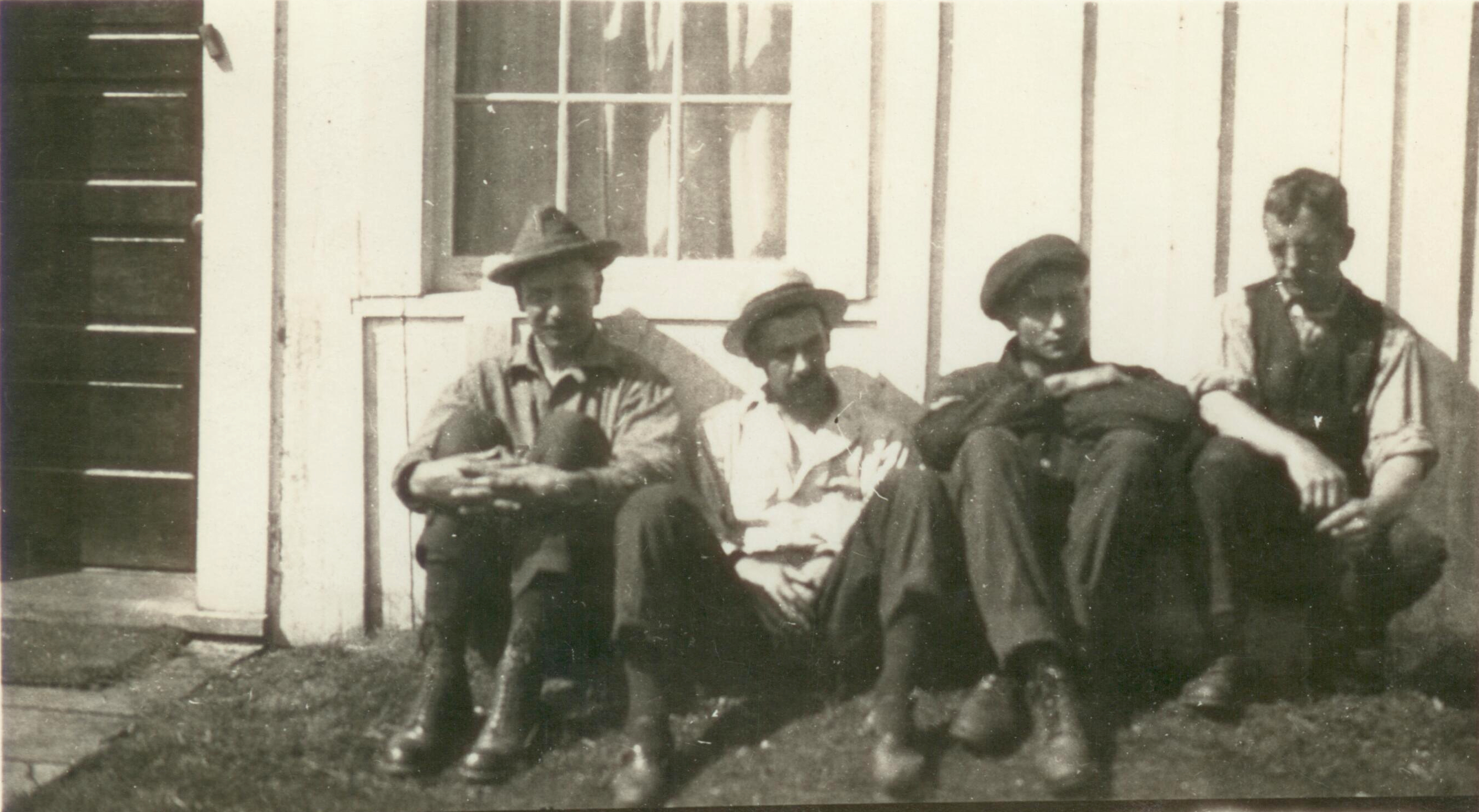
Professor Carl Milton Brewster taught Chemistry at Washington State University. Some of these students went on to study Chemistry at various Washington colleges. Prof. Brewster is likely the older man seen in several of the group photos (at center, below). The students have acquired more rugged outfits and a variety of hats in this photo:

Some of these photos are RPPCs, or private photos printed on postcard stock. Several images are wallet-size prints with writing on the reverse side, and some of the smaller prints are partially hand-colorized. There were also a few commercial postcards, likely purchased during the trip. As some of the photos in this set are from later years, one or more of the boys probably returned for subsequent summers. Cannery work reportedly paid better than the summer jobs available in Seattle at the time.
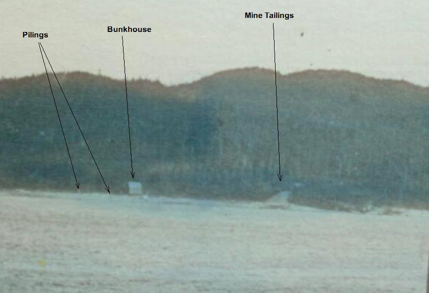
Written on the back of this photo; “We are rowing boat on the bay”. The cannery bunkhouses are visible in the background:
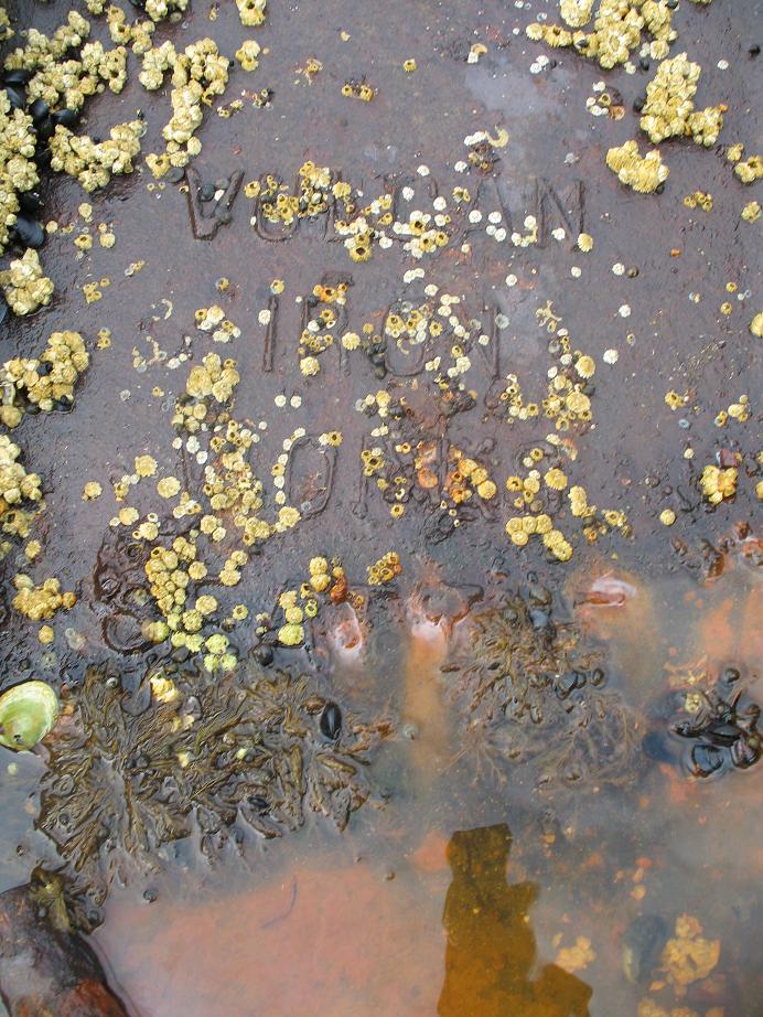
And on this photo; “We boys cross the bay and go up to the tunnel of the gold mine”. Apparently a visit to the mine required fancier clothes! This may have been a day off for the boys, or could have been an educational visit to learn about assaying or other mine-related topics.

This photo of Harold Hendrickson is labeled “Me (Buck)”. He may have been the photographer of some or all of these images:
After graduation several of these boys attended the University of Washington, including Harold Hendrickson, Clarence Hawley, and Gilbert Swart. Hawley and Swart both went into chemical engineering. Hendrickson seems to have followed the relatively new field of air conditioning, writing several papers on the subject. He is listed in the 1940 census as an Air Conditioning Engineer in California.
Some associated photos from the same collection were taken at other locations, possibly by the same people on their way to or from Funter Bay. These include more RPPCs, trimmed wallet-size prints, and at least one commercial postcard.
Inside passage view, possibly from a steamship:
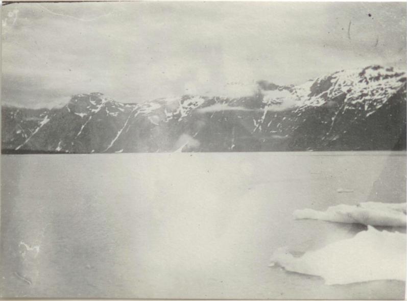
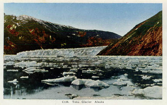
View from a ship, probably of Taku Glacier near Juneau:

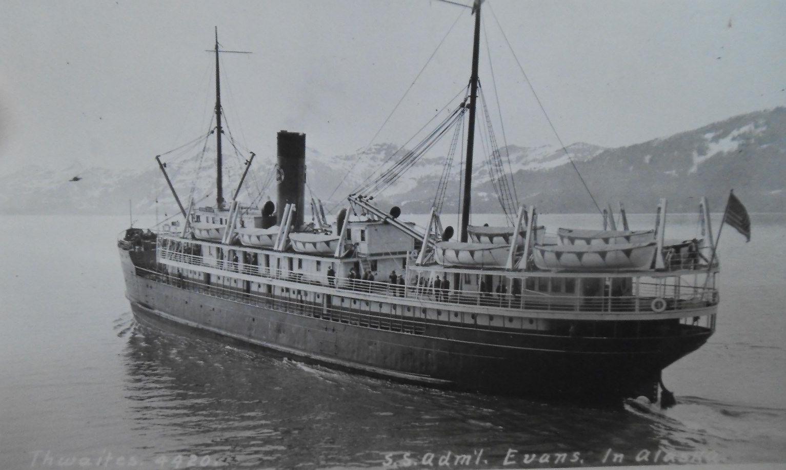
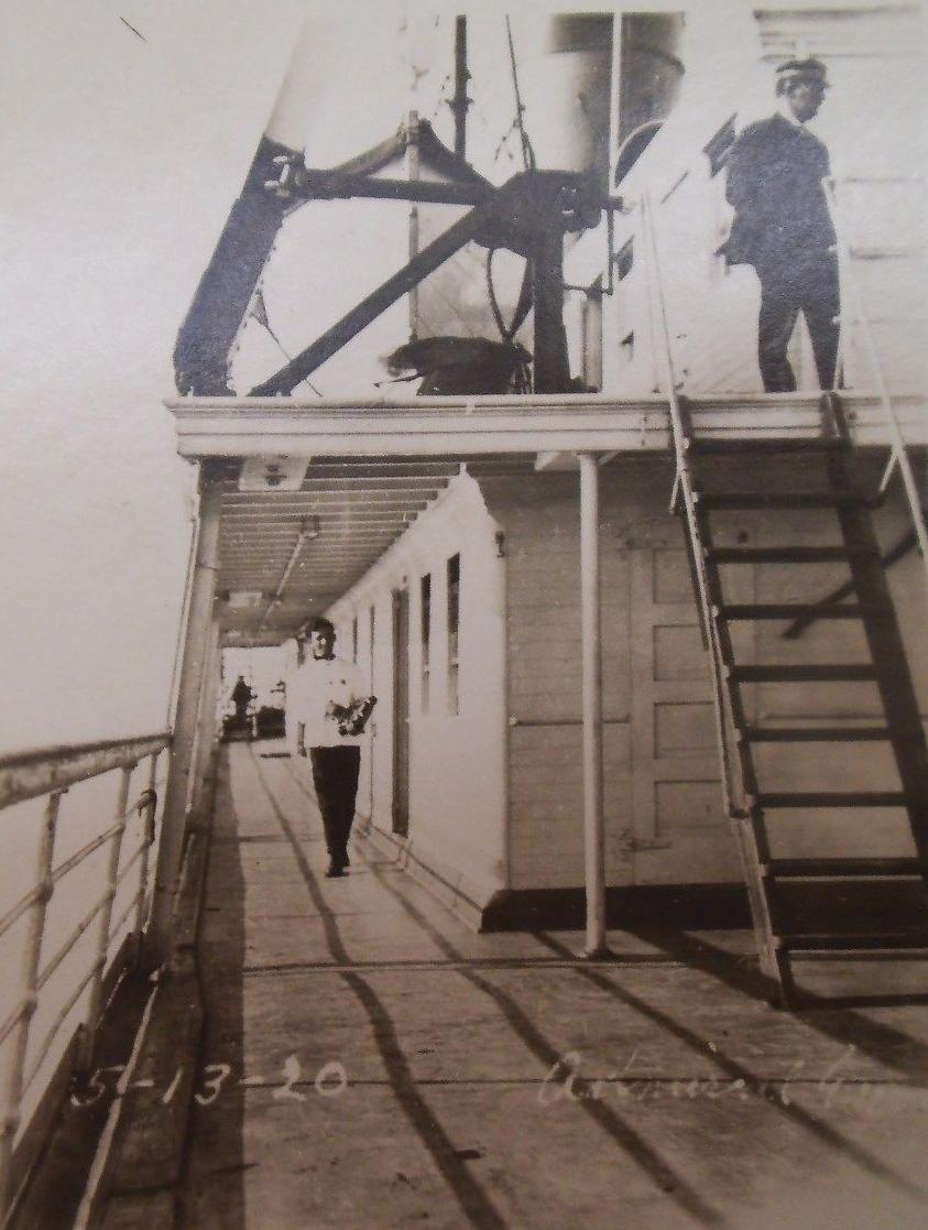
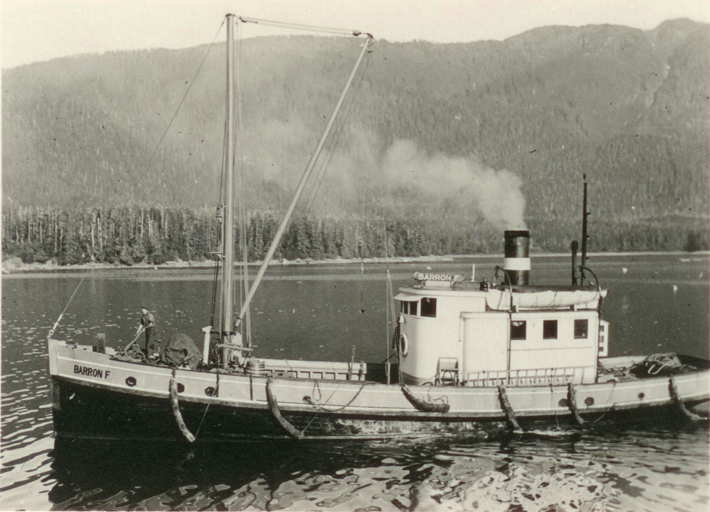
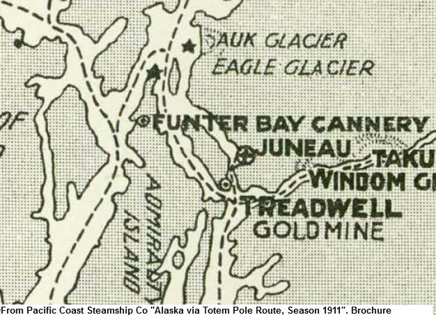
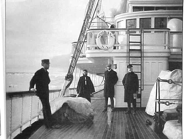
The next two images show the Steamship Admiral Evans, which occasionally called at Funter Bay. The first appears to be a commercial postcard, possibly purchased on board. The 2nd seems to be labeled in the same way as some of the cannery tender photos from this collection. This may have been taken on the way to Funter Bay at the start of the 1920 season.
Many of the Ballard students seen here went on to form a club called the “Knights of the Moon”, established January 31, 1920 (Per the Seattle Times). As described in a 1994 Times article, the club was started by 13 friends who attended Ballard High School in 1917, 1918, and 1919. Most of the club members were school athletes who played basketball and baseball, and the club fielded Church League and City League teams after high school. Several members were good singers, who would go to “Ballard Beach” in Seattle to “bay at the moon” according to Clarence Anderson (George Anderson’s brother). The club would put on dances, beach parties, and theater parties. Anderson reported that there was no drinking at these parties, and credits the club for keeping some young people out of trouble.

Eventually the club reached 50 members, pledging new members like a fraternity, and not missing a monthly meeting until 1987. The Times article went on to report the final meeting in 1994, as only three charter members were still alive. (Charter Members were listed as Carl Anderson, George Fraley, George Frazier, Clarence Hawley, Harold Hendrickson, Herman Leander, Richard Smith, Roy Swenson, Edwin Wilkerson, Rolf Wiggen, Clarence Anderson, George Anderson, and Harold Shepard).
Several of my recent posts feature other photos from this collection, possibly including and/or taken by some of these people. They are:
Steam Donkey Part II (includes another group photo of the Ballard Students)
1920s Cannery Postcards
1920s Cannery Workers
Cannery Tender Operations
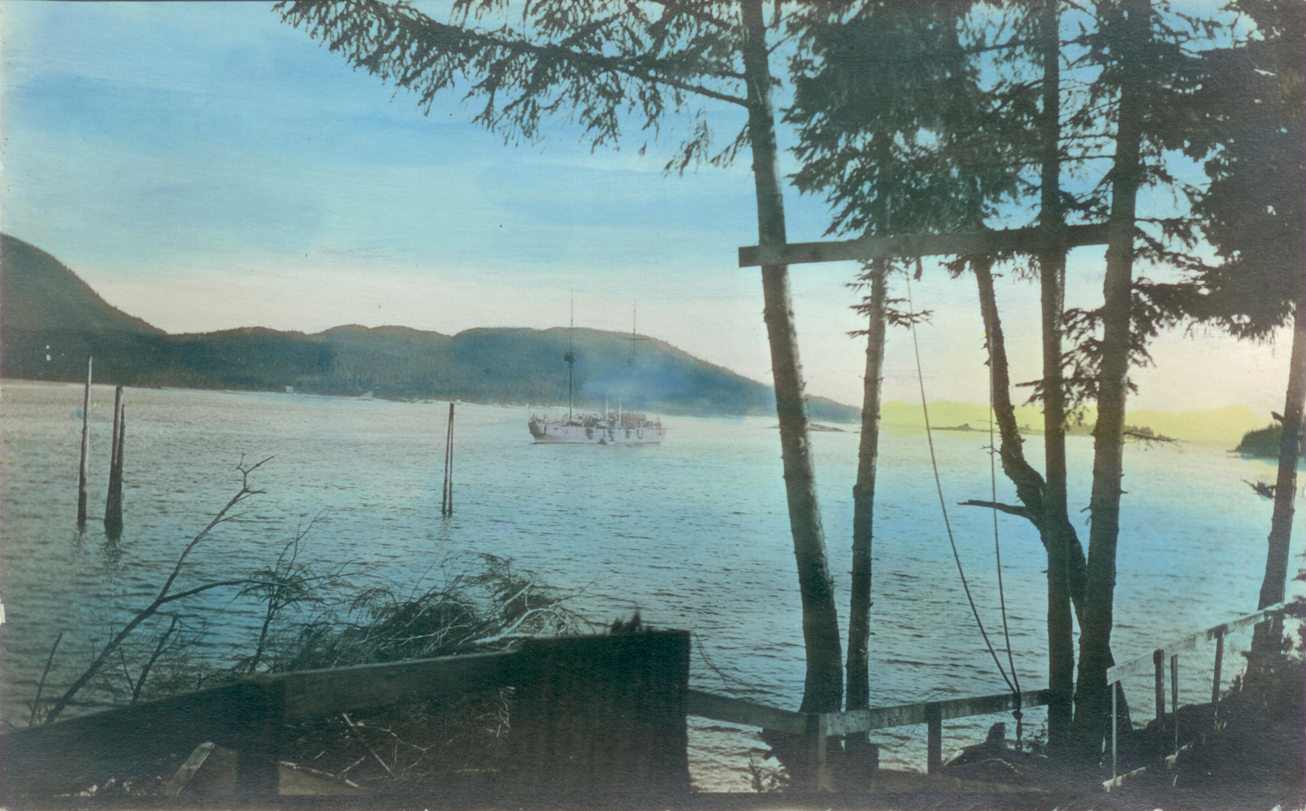
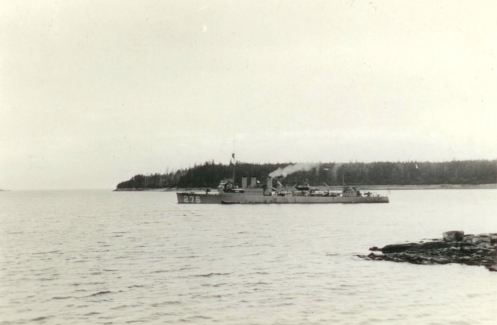
Navy Ships
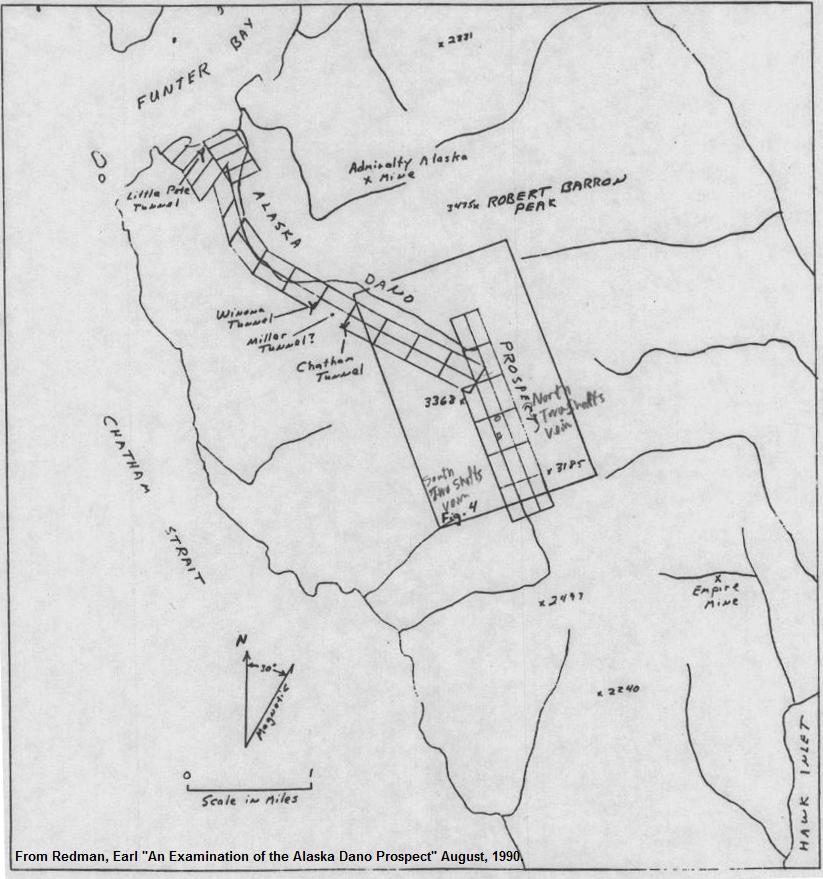
Dano Mine Part II
I would like to thank Dr. Alice Eagly for providing information about her father, Harold Hendrickson. I would also like to thank the Ballard High School foundation for providing research material on these students.


 Posted by saveitforparts
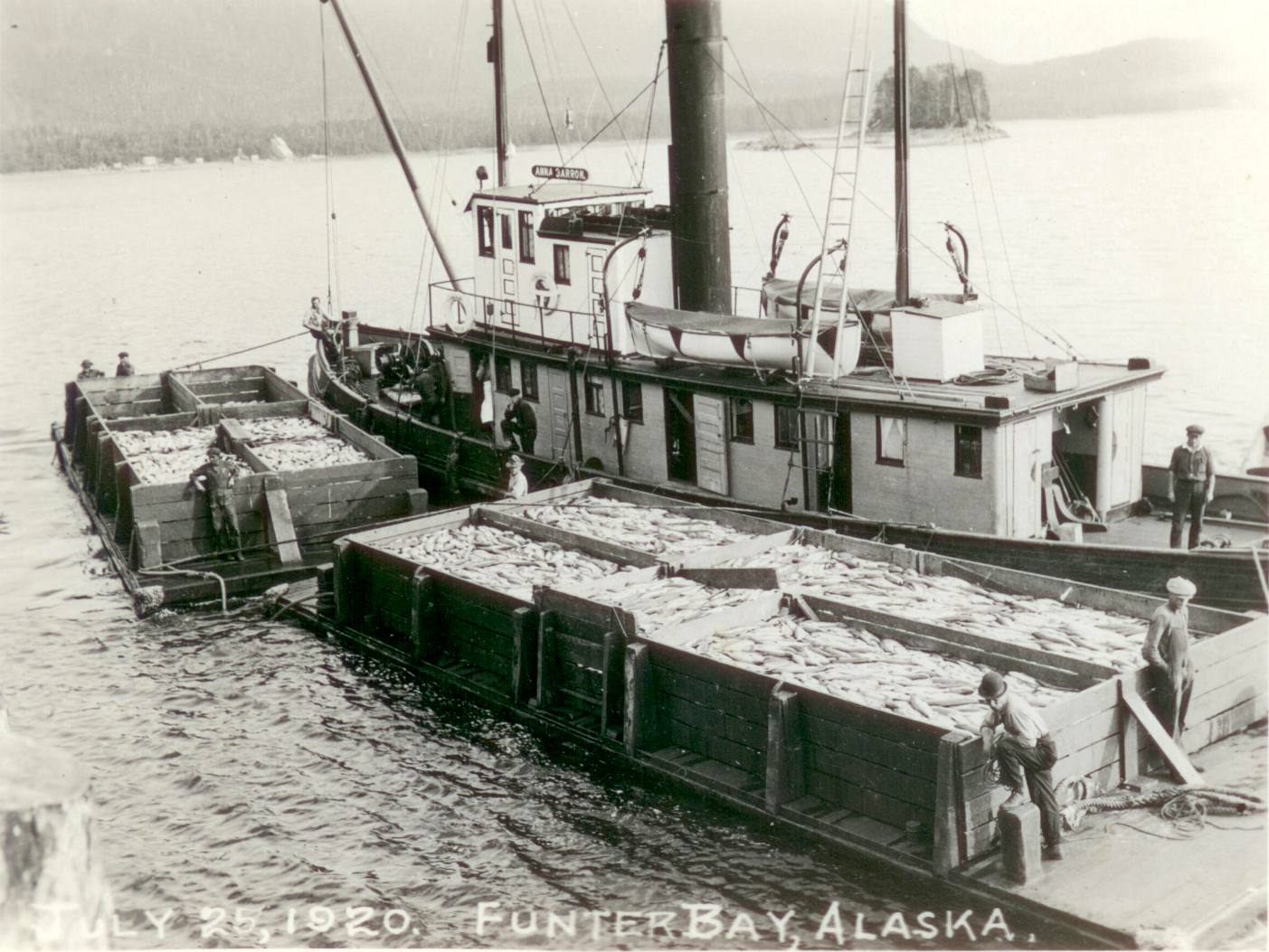


